Map of the areas of the valley
Upper, central, middle and lower valley: the Aosta Valley in four areas
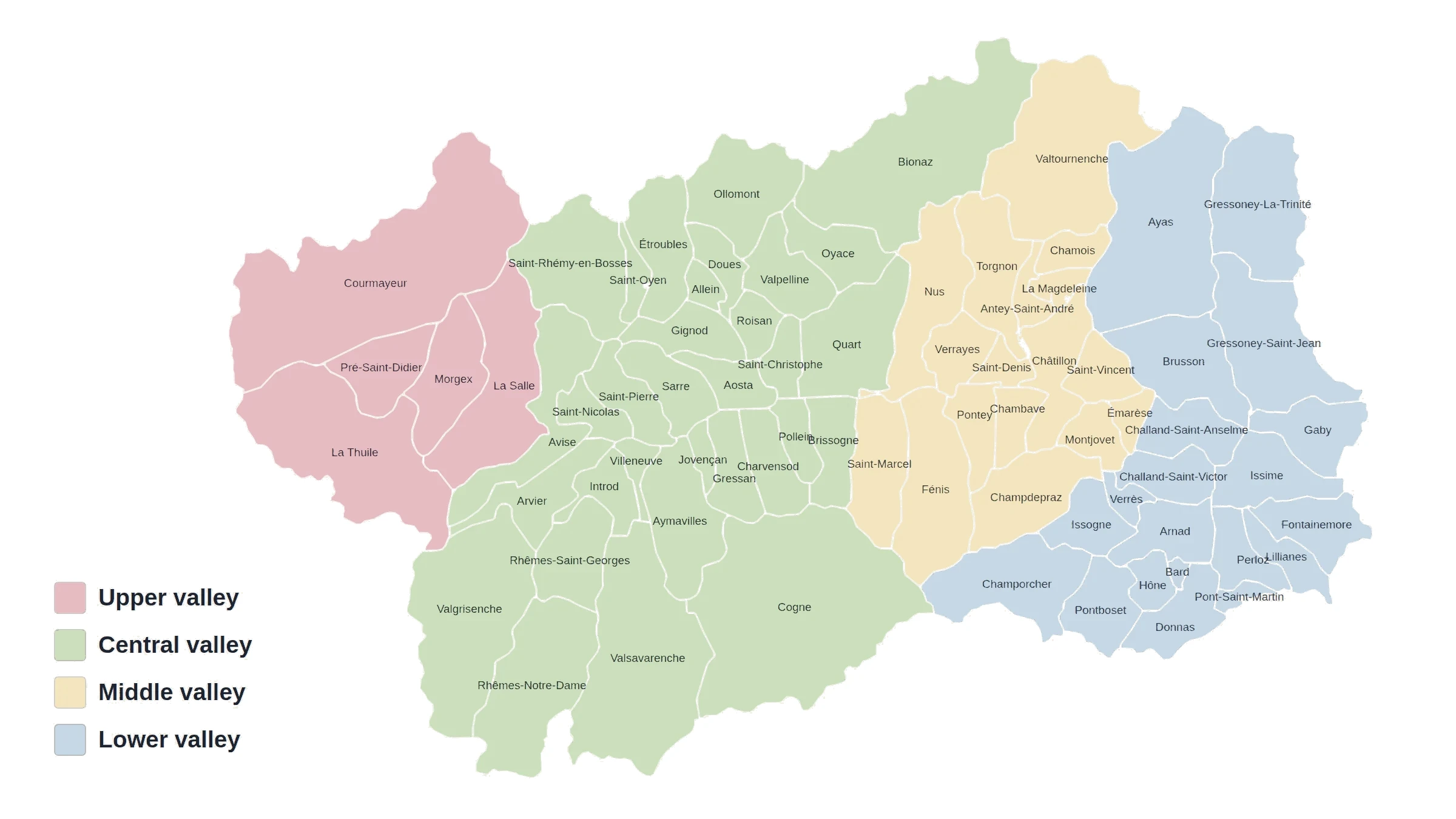
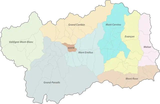
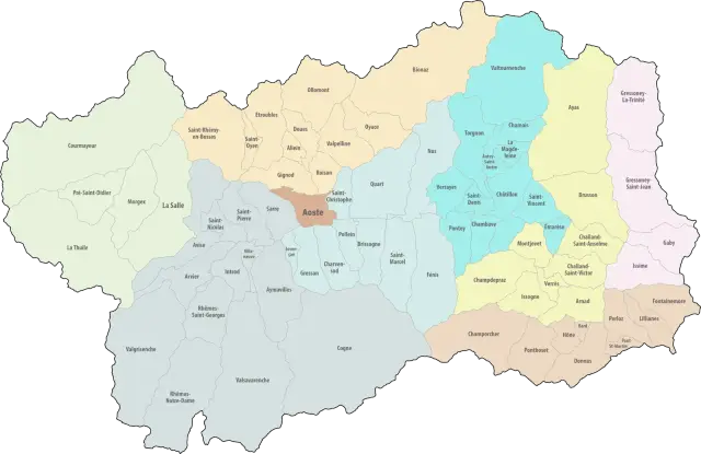
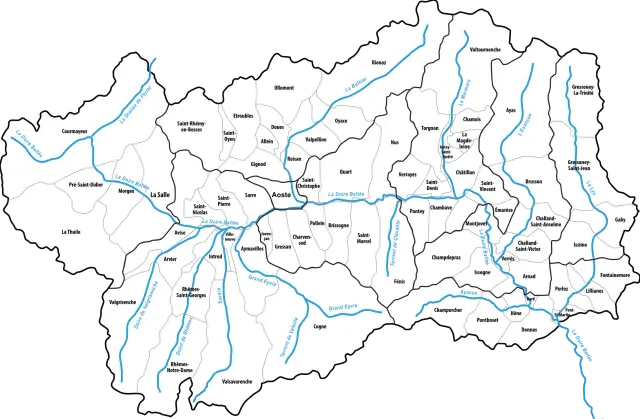
The Aosta Valley follows the Dora Baltea from Mont Blanc down to Pont-Saint-Martin. It is usually divided into broad areas, from upstream to downstream. This map shows four, each with its side valleys. It is a practical division for finding your way, not an administrative one: for that, see the map of the Unités des Communes.
Upper valley
The Valdigne, at the foot of Mont Blanc: Courmayeur, La Salle, La Thuile, Morgex and Pré-Saint-Didier.
Central valley
From Avise to Quart, around Aosta. It includes the Gran Paradiso valleys (Valgrisenche, Rhêmes valley, Valsavarenche, Cogne) and, to the north, the Great St Bernard valley and the Valpelline.
Middle valley
From Nus and Fénis to Montjovet, around Châtillon and Saint-Vincent, with the Valtournenche, which climbs towards the Matterhorn.
Lower valley
From Verrès to Pont-Saint-Martin, with the Ayas valley, the Gressoney valley and the Champorcher valley.
Maps: personal work by Marc Badjou.
Comments