The Dora Baltea
The river that crosses the whole region, from Mont Blanc to the Po

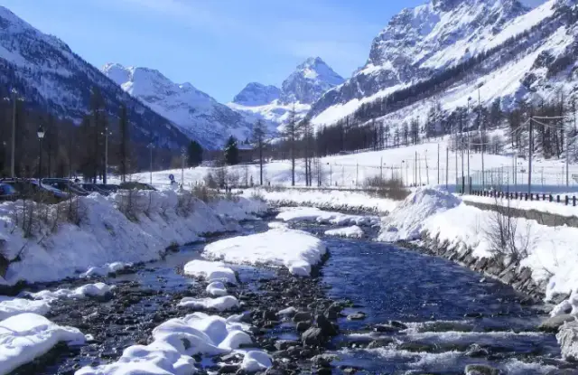
All the waters of the Aosta Valley end up in the Dora Baltea. The river rises at the foot of the Mont Blanc massif, near Courmayeur, where the streams of Val Veny and Val Ferret meet. Both streams are fed by the glaciers of the massif. The Dora then flows the whole length of the central valley, from west to east, before turning south. It leaves the region at Pont-Saint-Martin, passes through Ivrea, in Piedmont, and flows into the Po.
Over time it has carved gorges, widened the valley and laid down the alluvium of the plains it crosses. Each side stream brings it the water of its own valley: the Dora di Valgrisenche, the Buthier, the Marmore, the Evançon, the Lys and many others.

Fish, poplars and wet meadows
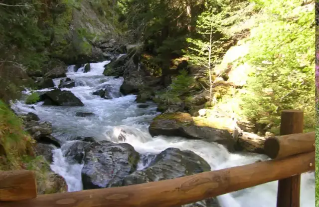
The water of the Dora stays cool and well oxygenated. Brown trout, barbel and grayling are fished there. Along the banks, poplar woods alternate with wet meadows. These habitats are home to many birds, small mammals and insects.
A valley of passage
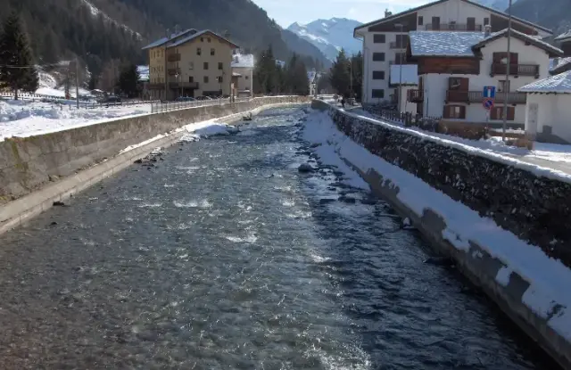
The Romans ran the road leading to the Alpine passes and Gaul through the Dora valley. They founded Aosta, Augusta Praetoria, in 25 BC. In the Middle Ages the valley remained a major trade route between Italy and the lands north of the Alps. The river was not navigable, but the road followed its course. Even today, the main road, the motorway and the railway run alongside the Dora.
Electricity, farming and white water
The Dora and its tributaries have a strong flow and a steep gradient. They feed many hydroelectric power stations. The river’s water is also used to irrigate meadows, orchards and vineyards.
Finally, the Dora attracts sports enthusiasts. Its rapids are run by raft and kayak, and anglers frequent its banks. Paths follow its course in several places.
What threatens the river
The Dora faces several problems:
- the climate: retreating glaciers, droughts and violent floods make its flow more irregular;
- pollution: discharges from industry, farming and homes degrade the water quality;
- building: the spread of towns and industrial zones shrinks the natural habitats along the banks.
In response, protected areas are being created, banks restored, water quality monitored and the public informed.