The Evançon
From the Monte Rosa glaciers to Verrès Castle
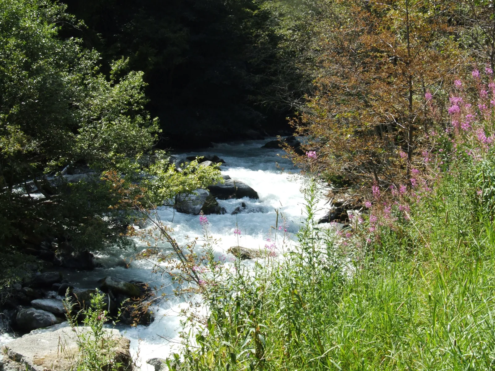
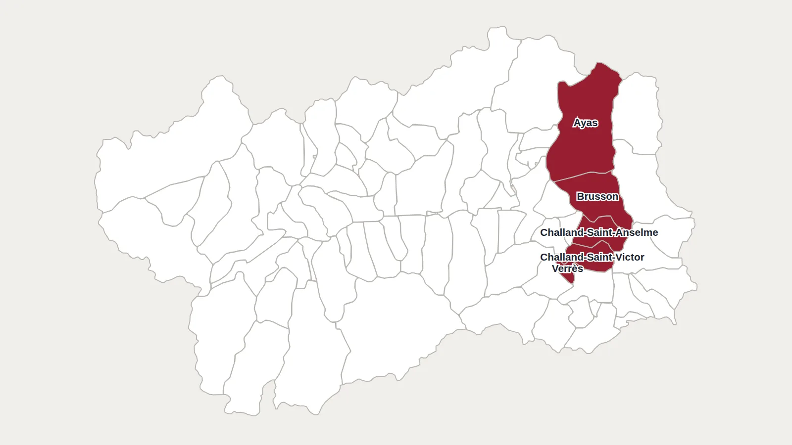
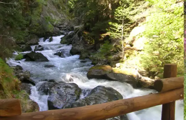
It was the Évançon that shaped the Ayas valley. It rises above 3,000 metres, below the Monte Rosa glaciers, then runs the length of the valley past Champoluc and Brusson. It joins the Dora Baltea at Verrès, below the castle guarding the valley mouth. Along the way it cuts gorges, forms waterfalls and winds across the flatter stretches.

Trout, minnows and edelweiss along the Evançon
The Évançon’s water is cold, clear and well oxygenated. Brown trout live here, with smaller fish such as the minnow, many aquatic insects and a few amphibians. On the banks, larch forests alternate with alpine meadows and scree, where the rare, protected edelweiss sometimes grows.
Water in high demand across the valley
The valley lives off its torrent. Its water irrigates the meadows, supplies the villages with drinking water and drives hydroelectric plants. This heavy use weakens it, as do the roads and dams that cut through natural habitats, and climate change, which is shrinking the glaciers.
What is being done to protect it
Some stretches are under strict rules to protect species. Banks are reinforced and replanted with local species to limit erosion. Visits and educational programmes explain to residents and visitors why it needs looking after.
Hiking, cycling and fishing in the Ayas valley
The Ayas valley suits plenty of activities. Waymarked trails lead from the larches to the summer pastures and up to the edge of the glaciers, and a path follows the Évançon for part of its course. There is also mountain biking, fly fishing and canyoning in the torrent’s gorges.
Main photo: Rigothamus, CC BY-SA 3.0, via Wikimedia Commons.
Maps: personal work by Marc Badjou.
Comments