Mont Blanc
The roof of the Alps, seen from its Italian side
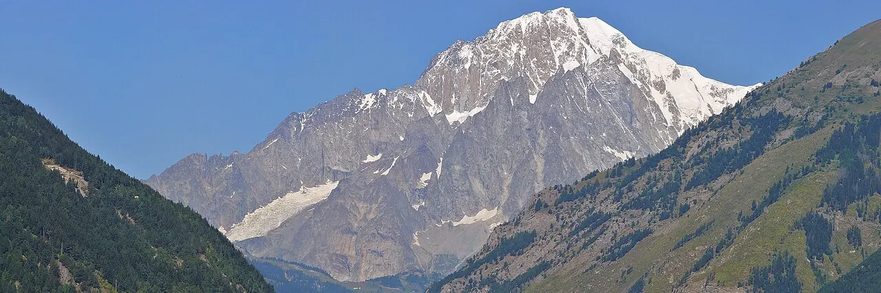
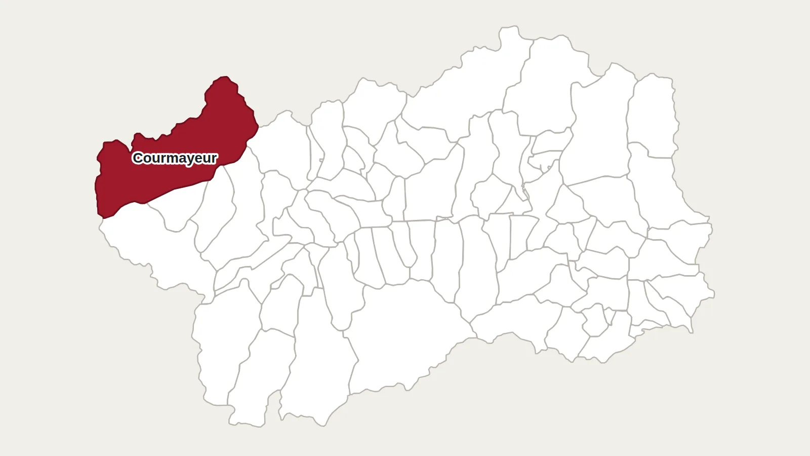
Mont Blanc is the highest summit in the Alps. Italian maps give it 4,810 metres. French surveyors, who measure it regularly, find a little less: 4,805.59 metres in 2023. The difference comes mainly from the snow cap on the summit, which changes from one year to the next. On the Aosta Valley side, the mountain towers over Courmayeur, Val Veny and Val Ferret.
A steep, wild face
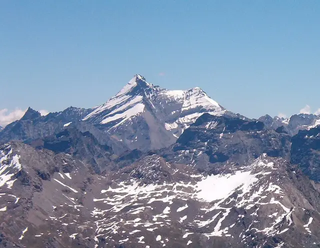
Seen from Chamonix, Mont Blanc looks like a great dome of snow. Seen from Courmayeur, it is quite different: a wall of rock and ice, cut by couloirs and ridges. Above 3,000 metres it is covered in glaciers, including the Brenva and Miage glaciers. The granite at the core of the massif shows through everywhere.
A disputed border
Since 1860, when Savoy became part of France, the border has run through the massif. For Italy it follows the watershed and so passes over the summit, as on the Matterhorn. French maps draw it around the summit, which would then be entirely French. The disagreement has never been settled.
The first ascent from the Italian side
On 8 August 1786, Jacques Balmat and Michel Paccard reached the summit by the French side. The first ascent from the south had to wait until 15 July 1865. That day A. W. Moore, George Mathews, Horace and Frank Walker, with the guides Melchior and Jakob Anderegg, climbed the Brenva spur. For the time, it was a route of unprecedented difficulty.
Two great building projects
Mont Blanc also changed life in the valley. In 1965 the 11.6-kilometre road tunnel linked Courmayeur with Chamonix. The cable car, opened in the 1950s and replaced in 2015 by the Skyway, takes visitors to the foot of the glaciers in a few minutes.
Getting there
Skyway Monte Bianco
Strada Statale 26 dir, 48
11013 Courmayeur (AO)
+39 0165 89196 · montebianco.com
Società delle Guide alpine di Courmayeur
Strada Villair, 2
11013 Courmayeur (AO)
+39 0165 842064 · guidecourmayeur.com
For a good view of the Italian side, simply take the Skyway up to the Pavillon (2,173 m) or Punta Helbronner (3,466 m), or go for a walk in Val Veny. The Italian normal route starts from the Gonella hut, above Val Veny, and goes by the Dôme glacier and the Aiguilles Grises ridge. It is a long and serious high-mountain route, to be done with a mountain guide.
Main photo: Ximonic, Simo Räsänen, CC BY 2.5, via Wikimedia Commons.
Maps: personal work by Marc Badjou.
Comments