The Dent d'Hérens
The Matterhorn’s neighbour, between Valpelline and Valtournenche

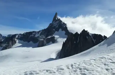
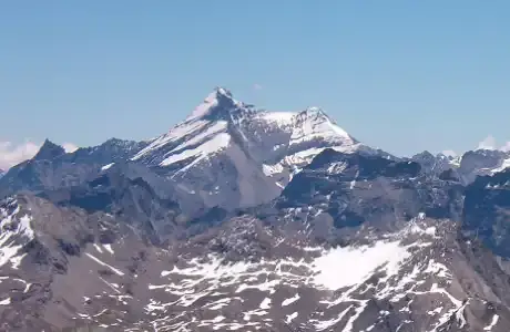
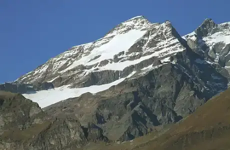
The Dent d’Hérens stands just west of the Matterhorn, on the border between the Aosta Valley and the Swiss canton of Valais. It rises to 4,171 metres. On the Italian side, it towers over two valleys: the upper Valpelline and the Valtournenche. From Breuil-Cervinia, you can see it to the left of the Matterhorn, bulkier and whiter.
A name that came from a mix-up
Its name comes from the Val d’Hérens, a valley in Valais. The story goes that the early map-makers swapped two names: that of the Dent d’Hérens and that of the Dent Blanche, its Swiss neighbour. The story has never been proved, but it has long been handed down among mountaineers.
The first ascent, in 1863
On 12 August 1863, a British party reached the summit. It was made up of four climbers, including Florence Crauford Grove, and three guides, among them Melchior Anderegg from Bern. The neighbouring Matterhorn would hold out for another two years.
The north face
On the Swiss side, the north face drops to the Tiefmatten glacier. It is a wall of ice and rock about 1,300 metres high. The Germans Willo Welzenbach and Eugen Allwein climbed it for the first time in August 1925. For the time, it was an ascent well ahead of its day: few north faces of that size were being climbed in the Alps.
Between the Matterhorn and the Grandes Murailles
The Dent d’Hérens is linked to the Matterhorn by a ridge that runs over the Col Tournanche and then the Tête du Lion, at the foot of the Matterhorn’s Italian ridge. To the south, a long crest branches off: the Grandes Murailles. It separates the Valpelline from the Valtournenche and lines up rocky peaks over several kilometres, as far as the Château des Dames. From Breuil, this wall forms the left-hand side of the view.
From the Valpelline
For the people of the Aosta Valley, the Dent d’Hérens comes into view mainly at the head of the Valpelline. You drive up the valley to the Place-Moulin reservoir, then walk to the Aosta hut, at 2,781 metres. This is the usual starting point for the Italian normal route. The climb is long and glaciated: crevasses, steep snow slopes and an exposed final ridge. It calls for a guide or solid high-mountain experience.
Without crampons
You do not need to climb so high to see it. The easy, flat path along the Place-Moulin reservoir already gives a fine view of the head of the Valpelline. To the east, above Breuil-Cervinia, the ski runs of Plateau Rosa show it close up, right next to the Matterhorn.