Punta Helbronner
The Mont Blanc viewpoint, a few minutes from Courmayeur
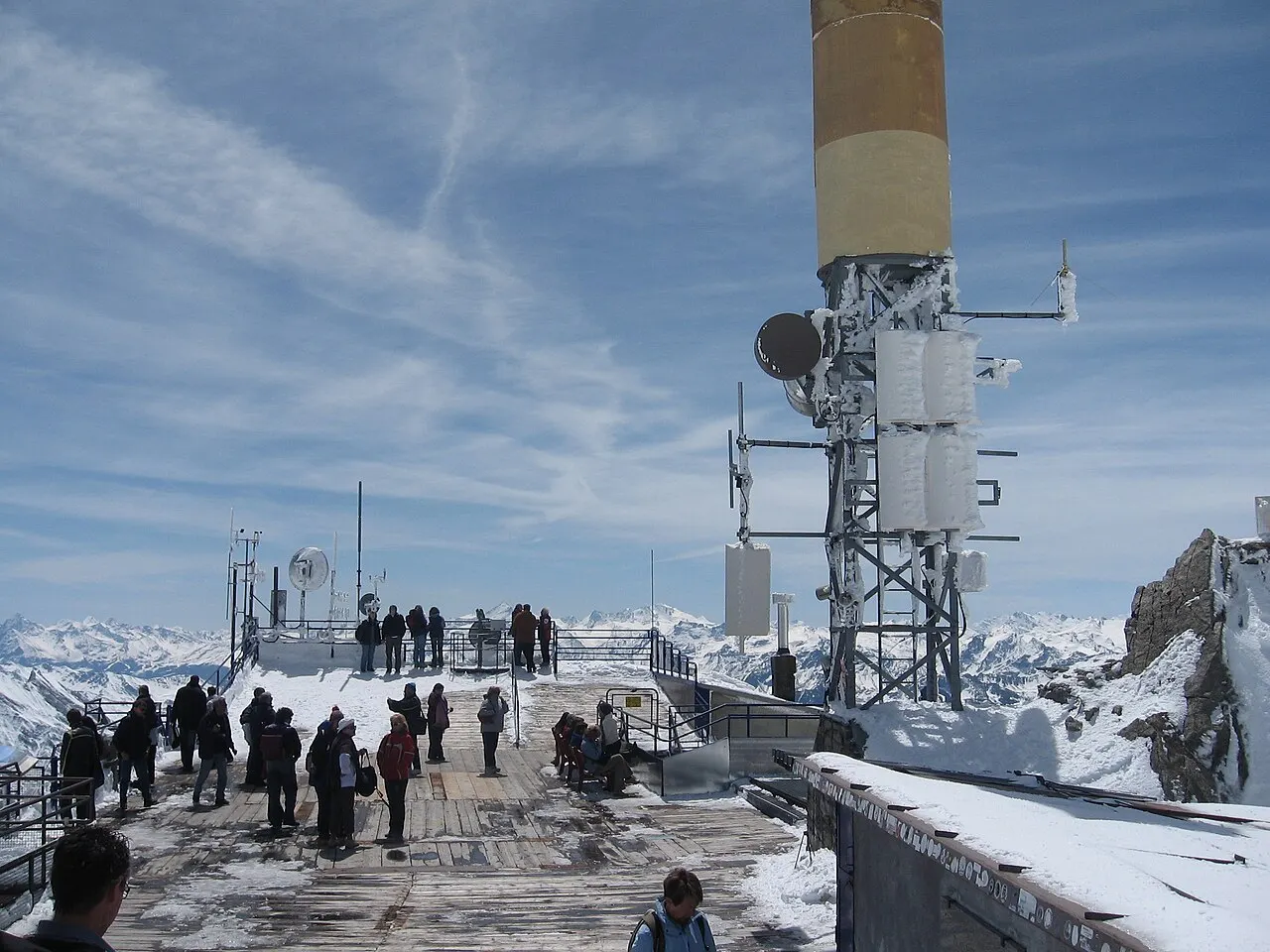
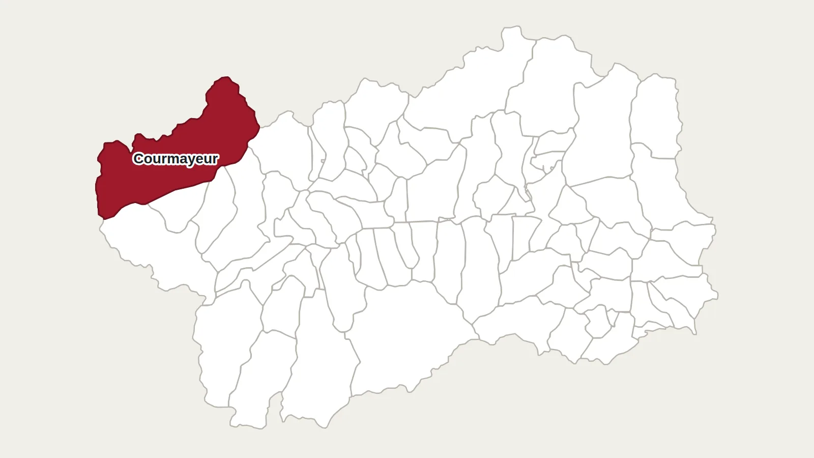
Punta Helbronner is probably the easiest ‘giant’ to reach in the Aosta Valley. This 3,462-metre rocky summit, on the border between Italy and France, carries the top station of the Skyway Monte Bianco. From Courmayeur you ride up by cable car, without effort, to the viewing terrace at 3,466 metres.
A surveyor’s name
The summit is named after Paul Helbronner (1871–1938), a French engineer and mountaineer. For years he surveyed the French Alps point by point, taking thousands of readings, including more than 150 stations above 3,000 metres. His name was given to the peak in 1938, the year he died.
From the old cable car to the Skyway
The idea of a cable car up Mont Blanc dates from 1940. Work began the following year from La Palud, was interrupted by the war, and then resumed. In the 1950s the line reached the top of the massif, and a link across the glacier connected it to France. The present Skyway opened on 30 May 2015. Its cabins rotate as they climb.
What you see from the top
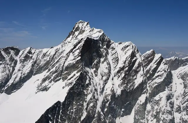
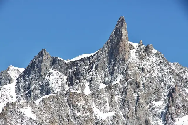
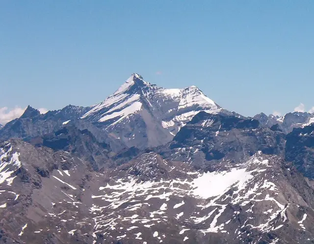
The circular terrace gives a 360-degree view. Mont Blanc is very close, to the west. The Dent du Géant points up to the north-east, above the Géant glacier, and the Grandes Jorasses close the horizon further off. In fine weather you can also see the peaks of the Aosta Valley and Piedmont.
Inside the station, a room displays Mont Blanc crystals found by crystal hunters, on loan from collectors. Collecting them has been banned on the Italian side since 2008.
Getting there
Skyway Monte Bianco
Strada Statale 26 dir, 48
11013 Courmayeur (AO)
+39 0165 89196 · montebianco.com
The Skyway leaves from Entrèves, at 1,300 metres, stops at the Pavillon (2,173 m) and then climbs to Punta Helbronner. You do not need to be a mountaineer for the terrace, but it is cold at this altitude, even in summer, and the air is thinner. Beyond it, the Géant glacier and the nearby Torino hut are the starting point for high-mountain routes, to be done with a guide.
Main photo: Daniel Ventura, CC BY-SA 3.0, via Wikimedia Commons.
Maps: personal work by Marc Badjou.
Comments