Montmayeur Castle
A tower with swallowtail battlements, perched above the Valgrisenche gorge
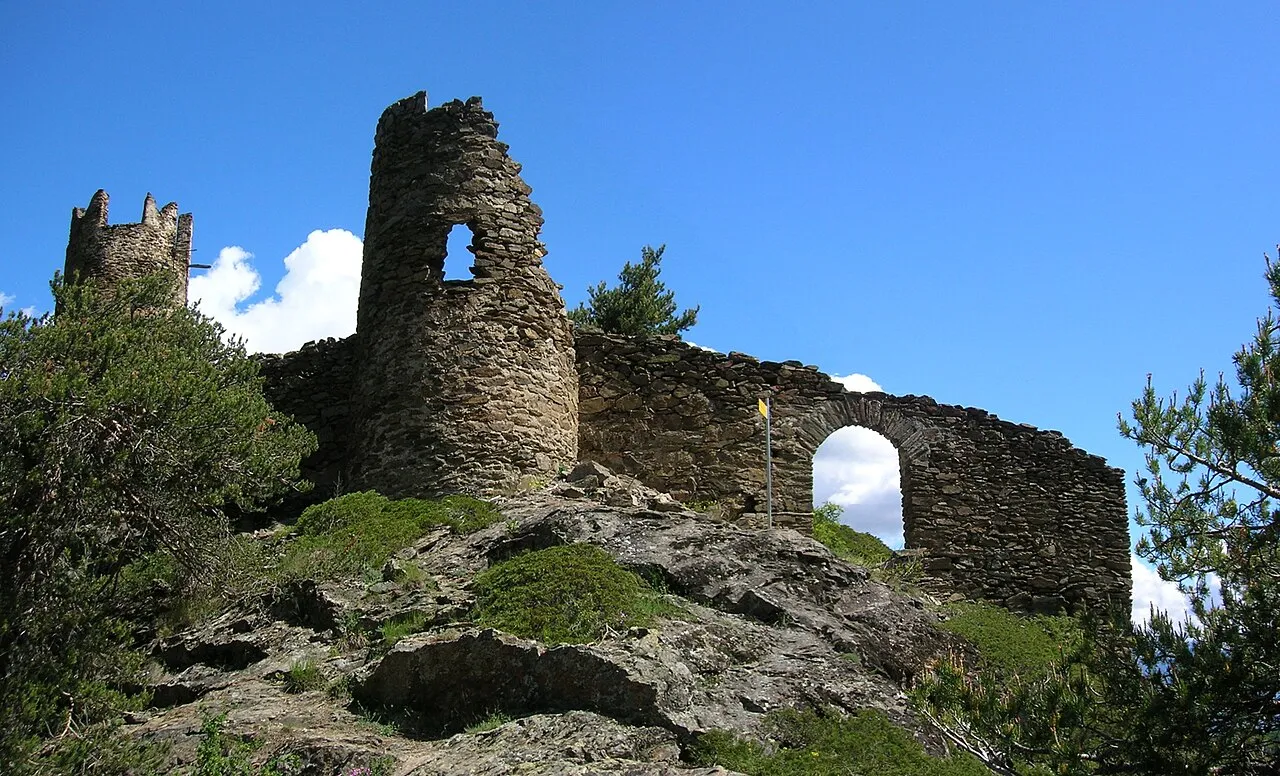
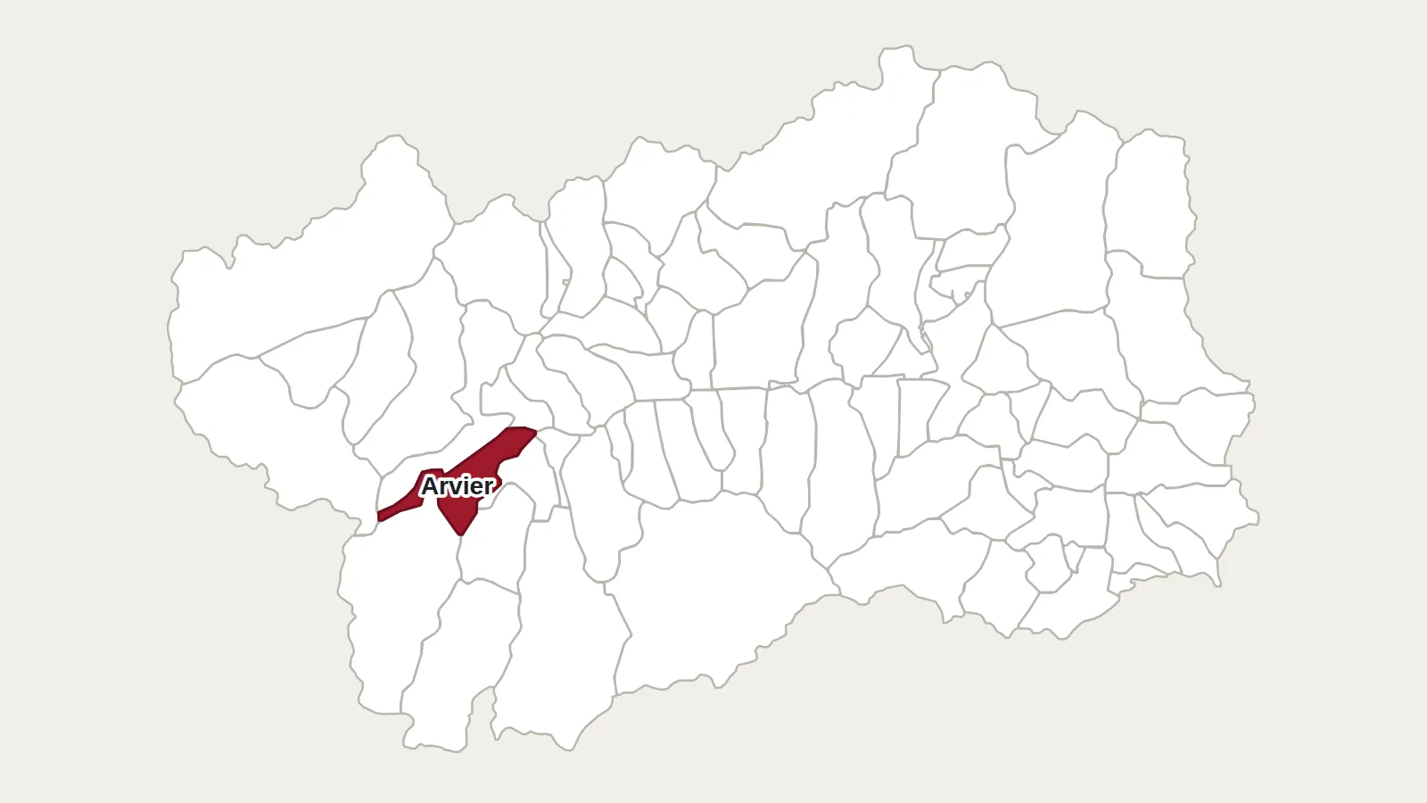
Above Arvier, at an altitude of about 1,150 metres, a round tower rises from a rocky spur. It overlooks the ravine of the Dora di Valgrisenche, at the mouth of the valley. It can only be reached on foot. Local people long called it the ‘eagle’s nest’, or the ‘vultures’ nest’.
A sentinel on the Col du Mont road
The castle was built in 1271 by Anselme and Aymon d’Avise, lords of the area. It watched over the route to the Col du Mont, an important road between the Aosta Valley and the Tarentaise. Around 1309, the Savoys took control of it. They had it remodelled and installed a permanent garrison. In 1359, the fief returned to the lords of Avise. In 1430, soldiers were still quartered there. No one knows when it was abandoned.
What remains
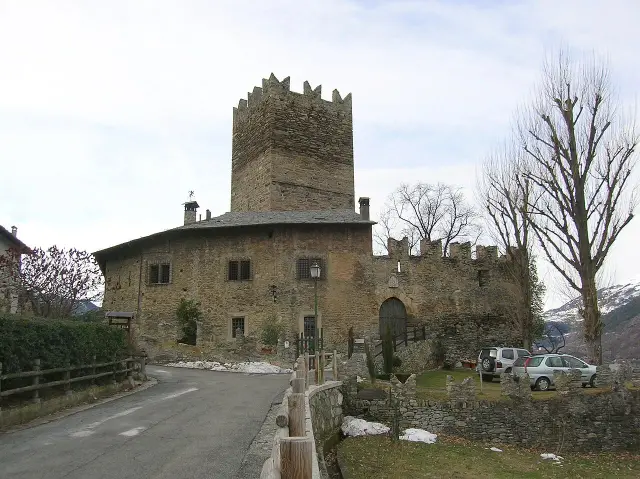
The most striking feature is the cylindrical tower on three levels. Its top carries swallowtail battlements, like a split crown. Its door opened on the second floor, out of reach. Around it are the remains of two curtain walls built at different times, and traces of a square building set against the tower. The walls are pierced with many arrow slits.
The legend of the count
A story is told about this castle. In the 15th century, a Count of Montmayeur, sentenced by a court in Chambéry, is said to have cut off the judge’s head. He then supposedly took refuge in the mountains of Valgrisenche. The legend credits him with building the tower, even though it had existed for a long time.
How to see it
Château de Montmayeur
11011 Arvier (AO)
The castle can only be reached on foot. The shortest way: from the hamlet of Grand-Haury (about ten minutes’ drive from Arvier), path 2A reaches the ruins in about twenty minutes. You can also start from Arvier, near the roundabout on the Valgrisenche road, and climb through the hamlets of Petit-Haury and Grand-Haury: about two hours, on a path that is steep at first. Part of the site is private: stay on the paths and take care near the walls.
Main photo: Patafisik, CC BY-SA 3.0, via Wikimedia Commons.
Maps: personal work by Marc Badjou.
Comments