The Grand Combin
The Swiss 4,000-metre peak that closes the Valpelline skyline
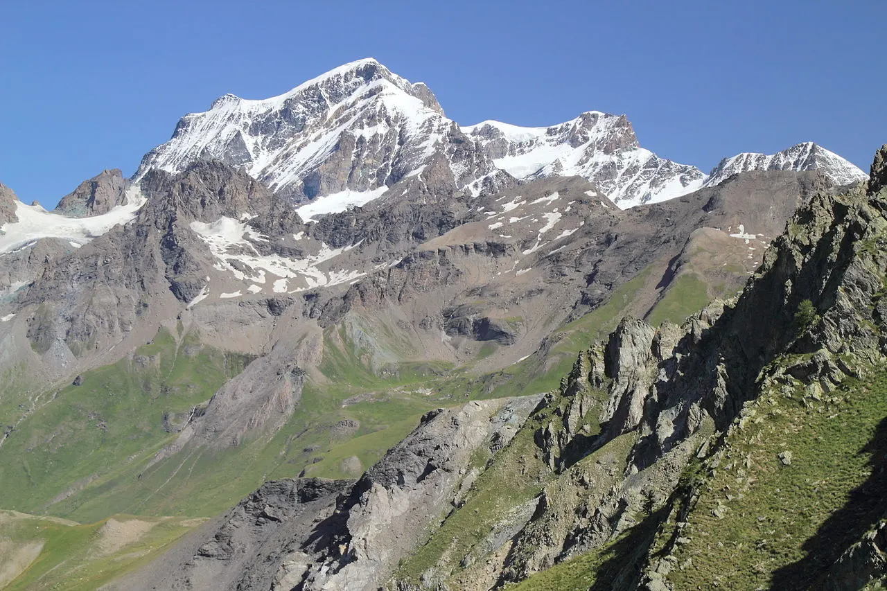
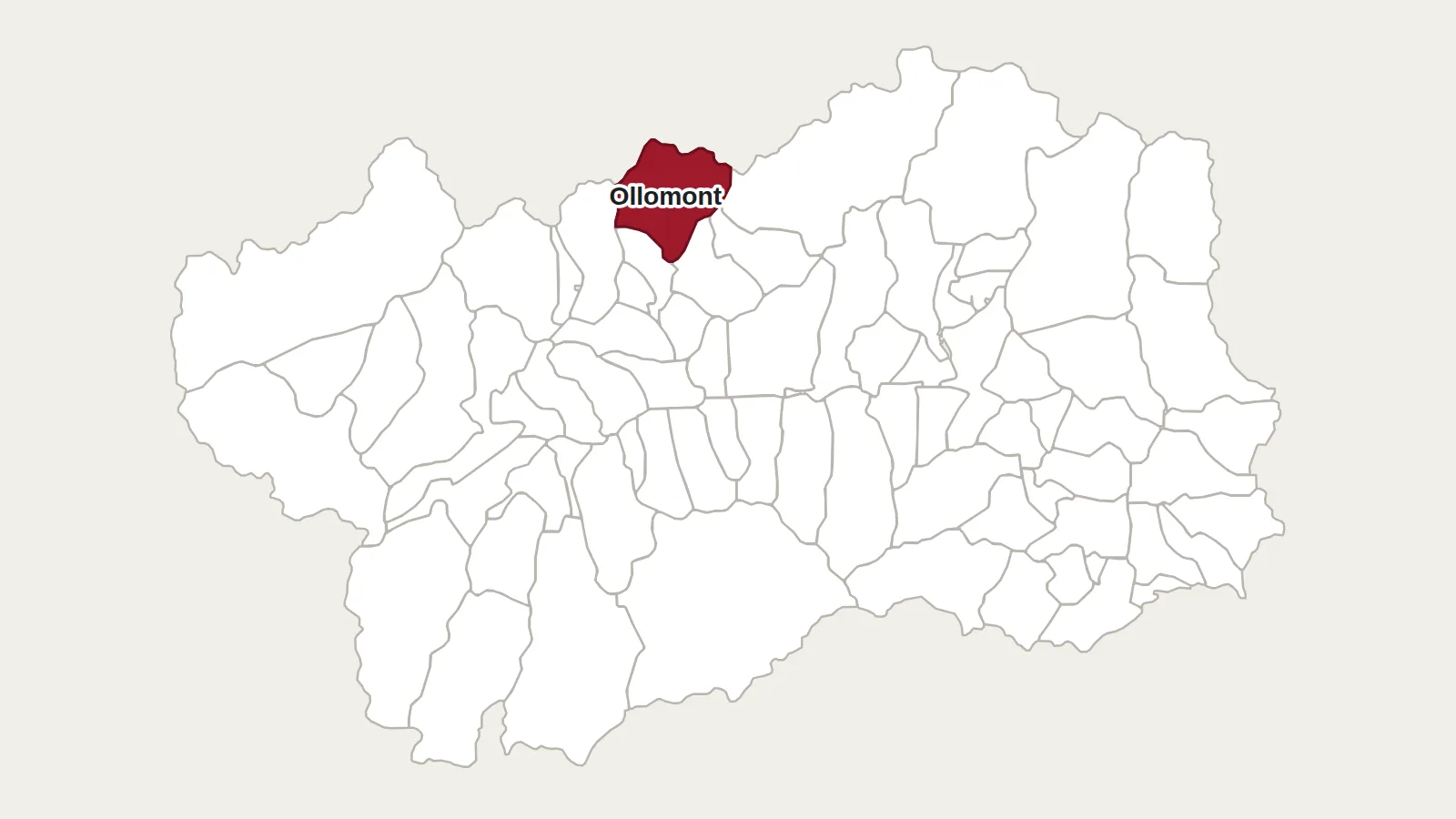
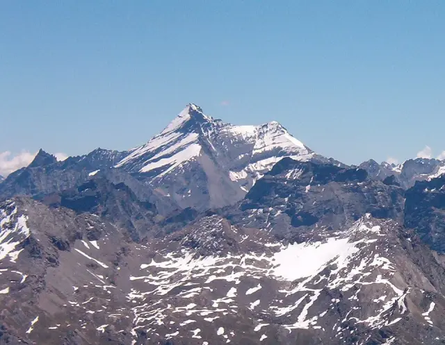
The Grand Combin is not in the Aosta Valley, yet it is often seen from there. This great massif of ice lies in Switzerland, in the canton of Valais, between the Val de Bagnes and the Val d’Entremont. The Italian border runs a few kilometres to the south, along the crests above Ollomont and the head of the Valpelline. Its highest point, the Combin de Grafeneire, reaches 4,314 metres; recent Swiss surveys give 4,309 metres.
Several summits in one
The Grand Combin is not a single peak. It is a long barrier of ice carrying several summits over 4,000 metres: the Combin de Grafeneire, the highest, but also the Combin de Valsorey, the Combin de la Tsessette and the Aiguille du Croissant.
Conquered in two stages
In 1857 three mountain men from the Val de Bagnes reached the Aiguille du Croissant, a secondary summit. The true top was gained on 30 July 1859 by the Frenchman Charles Sainte-Claire Deville and his guides.
On the Swiss side, the historic route goes by the Corbassière glacier and a gully overhung by seracs, the ‘Corridor’. These blocks of ice can fall at any moment, and the spot has claimed many lives. The Grand Combin remains a serious summit, only for experienced mountaineers, with a mountain guide.
Seeing it from the Valpelline
From the Doues valley, a road climbs to Plan Debat, at around 2,000 metres. From there a path passes the Champillon hut and reaches the Col de Champillon, at 2,709 metres, in about two hours. The Grand Combin then appears to the north, above the basin of By.
Further east, the Fenêtre de Durand, at 2,797 metres, links Ollomont with Switzerland. The Tour des Combins, a trek of several days, circles the massif through Italy and Switzerland.
Getting there
Champillon hut ‘Adolphe Letey’
2,465 m · Doues (AO)
+39 320 225 3348 · rifugio-champillon.it
The hut is about an hour’s walk from the Plan Debat car park, above Doues; it is open from mid-June to the end of October, weather permitting. The Col de Champillon is an easy walk and the best viewpoint on the Italian side. The summit itself is climbed from Switzerland and is high-mountain terrain.
Main photo: Fulvio Spada, CC BY-SA 2.0, via Wikimedia Commons.
Maps: personal work by Marc Badjou.
Comments