The Grandes Jorasses
Six granite peaks at the head of Val Ferret
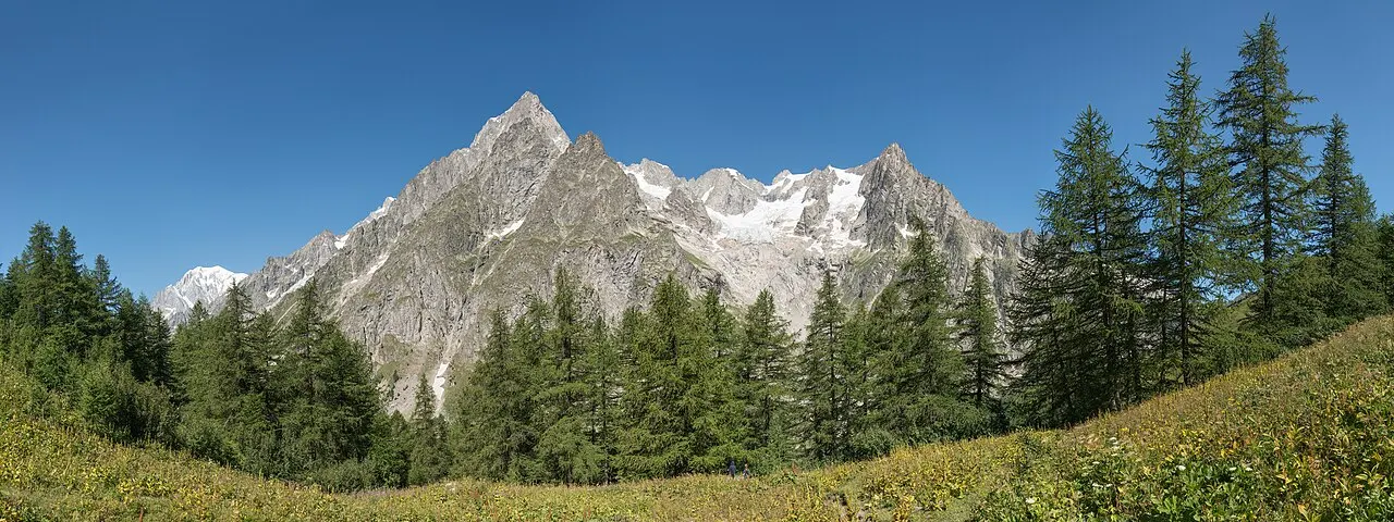
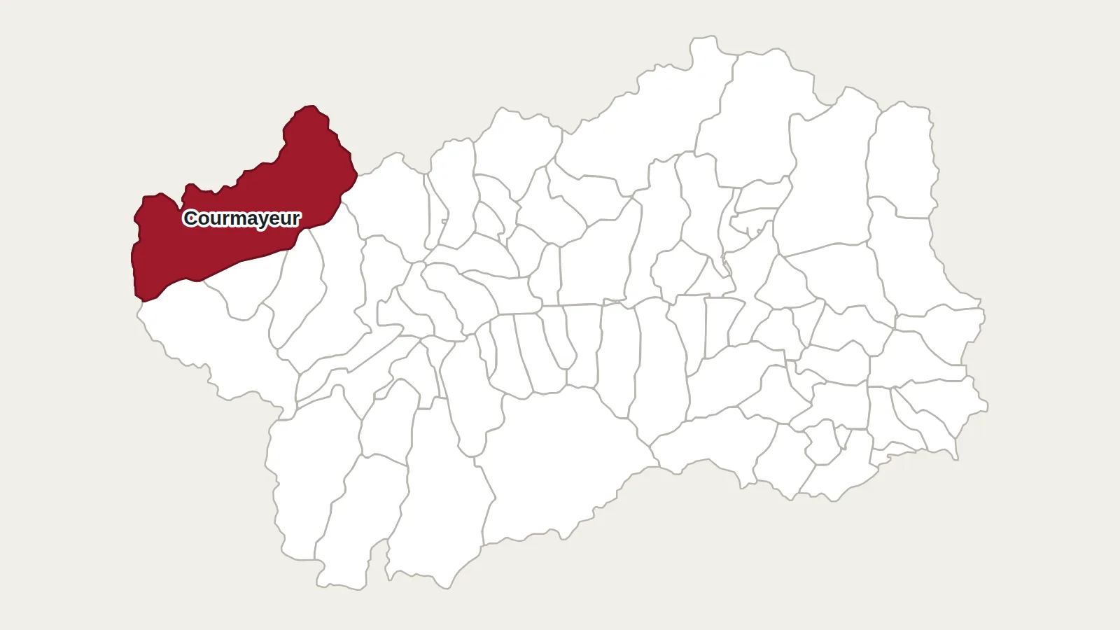
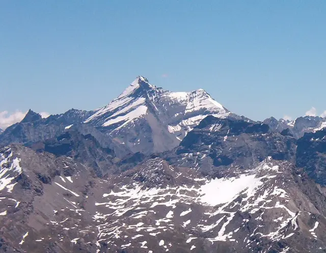
Going up Val Ferret from Courmayeur, you have on your left a long ridge of granite and ice that closes off the horizon. These are the Grandes Jorasses. Their highest point, the Pointe Walker, reaches 4,208 metres. The ridge marks the border between Italy and France.
Six peaks along a kilometre
The summit is not a single point. It is a ridge about a kilometre long with six peaks on it. Five of them are over 4,000 metres. Each has a name: the Pointe Walker, the highest, then the Pointe Whymper (4,184 m) and the Pointe Croz, and three others further west. These names recall the first mountaineers and guides who came here.
Whymper first, then Walker
On 24 June 1865 the Englishman Edward Whymper reached the peak that now bears his name, with the guides Michel Croz, Christian Almer and Franz Biner. Three years later, on 30 June 1868, his fellow countryman Horace Walker reached the highest point with Melchior Anderegg, Johann Jaun and Julien Grange. Both parties went by the Italian side. Their route has remained the normal route.
The north face, on the other side
On the French side, the mountain drops to the Leschaux glacier in a wall of about 1,200 metres. It is one of the three great north faces of the Alps, along with those of the Matterhorn and the Eiger. The Croz spur was climbed in 1935 by Martin Meier and Rudolf Peters. In 1938 the Italians Riccardo Cassin, Luigi Esposito and Ugo Tizzoni climbed the Walker spur, a route that is still much sought after.
A glacier under watch
On the Italian side, the Planpincieux glacier hangs above Val Ferret. Since 2013, cameras installed opposite, on Mont de la Saxe, have photographed it every hour to follow its movements.
Getting there
Rifugio Boccalatte-Piolti (2,803 m)
Val Ferret, Courmayeur (AO)
+39 375 6596222 · rifugioboccalatte.com
Società delle Guide alpine di Courmayeur
Strada Villair, 2
11013 Courmayeur (AO)
+39 0165 842064 · guidecourmayeur.com
Val Ferret offers the best view, especially around Planpincieux. From there, a path climbs in about 3 hours 30 minutes to the Boccalatte-Piolti hut, at the foot of the south face. Beyond that it is mountaineering: the normal route takes two days, with steep slopes and exposed rock sections, and should be done with a mountain guide.
Main photo: Giorgio Galeotti, CC BY 4.0, via Wikimedia Commons.
Maps: personal work by Marc Badjou.
Comments