Lyskamm
A long snow ridge nicknamed “the man-eater”
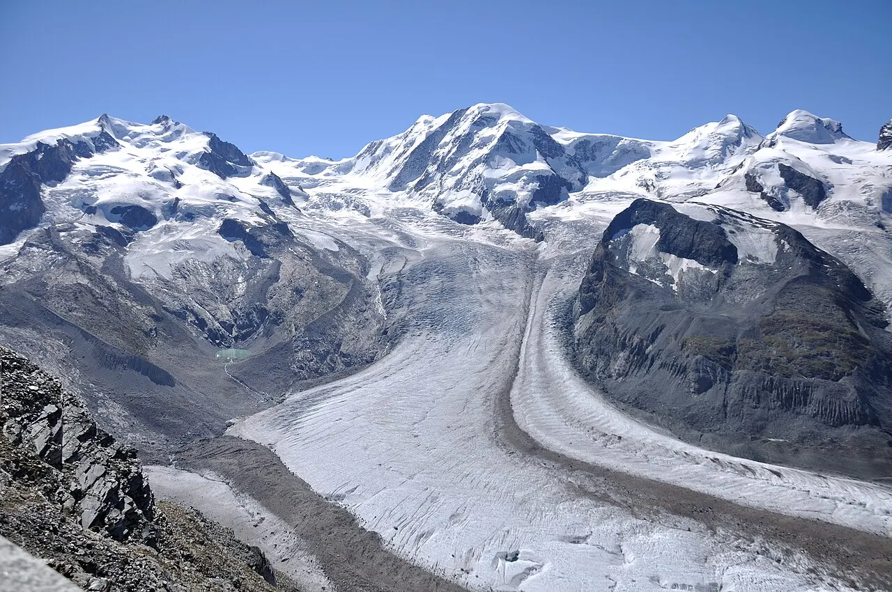
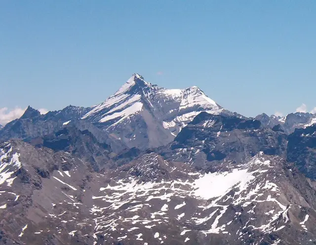
At the head of the Gressoney valley, between the Punta Gnifetti and the Castor, a long white ridge links two summits. This is the Lyskamm. Its highest point, the Lyskamm East, reaches 4,527 metres. Its neighbour, the Lyskamm West, rises to 4,479 metres. The border with Switzerland runs along the crest.
A name taken from the glacier
The name comes from the German of the Walser, the people from the Valais who settled the upper Gressoney valley in the Middle Ages. “Lys” refers to the Lys glacier and river, and “Kamm” means “crest”. So it is simply the crest of the Lys.
The man-eater
The Lyskamm has a bad reputation. On its ridge the wind builds snow cornices that overhang the drop. They can give way under the weight of a roped party. Several accidents, some of them very serious in the 19th century, earned it the nickname of “man-eater”. Bad weather comes in quickly, and the ridge is long: climbers stay exposed on it for several hours.
A first ascent in 1861
The Lyskamm East was first climbed in August 1861 by a party of English mountaineers with Swiss guides. This was the period when the great peaks of Monte Rosa were being climbed one by one.
Getting there
Quintino Sella hut at the Félik (3,585 m)
Félik glacier
11020 Gressoney-La-Trinité (AO)
+39 0125 366 113 · rifugioquintinosella.com
From the Punta Indren or the Bettaforca pass, you get a very good view of the Lyskamm without leaving the Monterosa Ski lifts. Its traverse is a serious high-mountain route, to be done with a mountain guide.
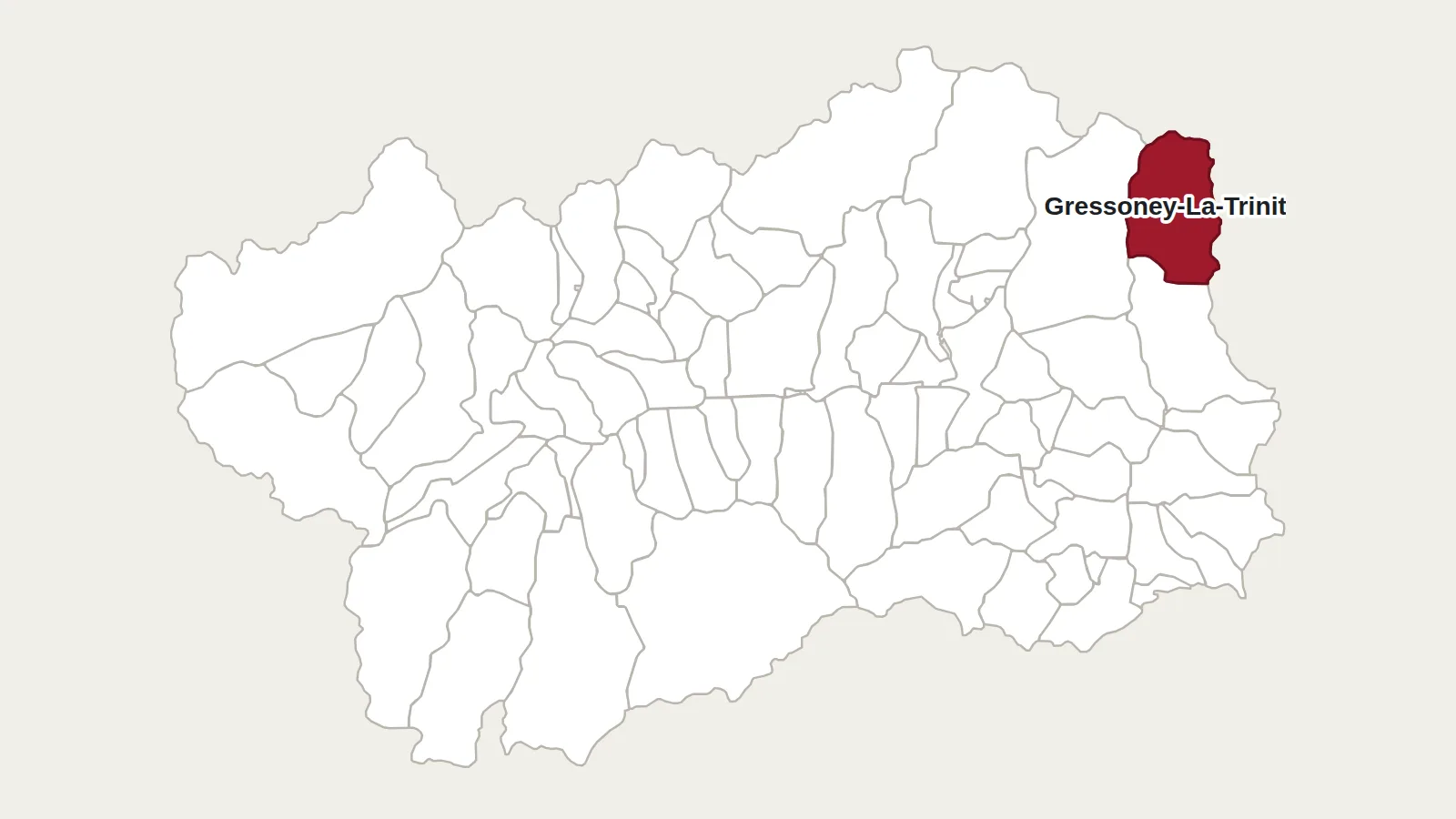
Main photo: Hansueli Krapf, CC BY-SA 3.0, via Wikimedia Commons.
Maps: personal work by Marc Badjou.
Comments