Herbetet
The rock pyramid that closes off the Valnontey
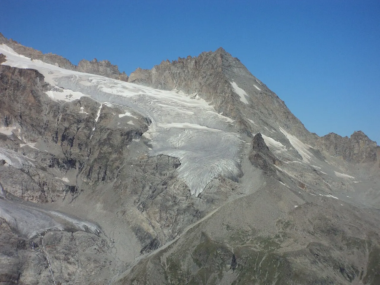
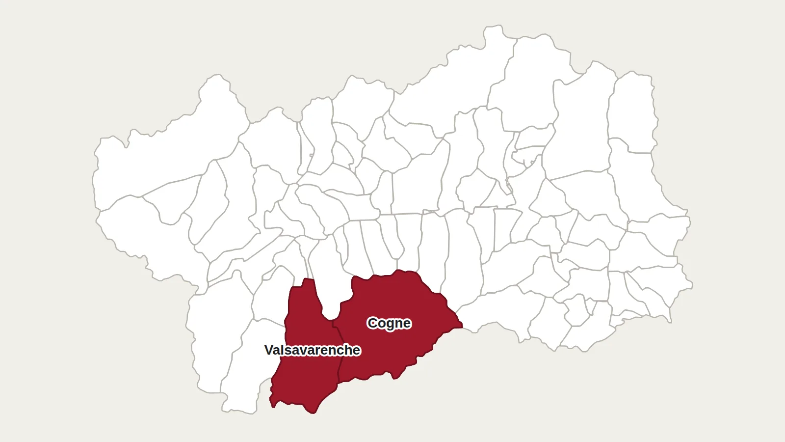
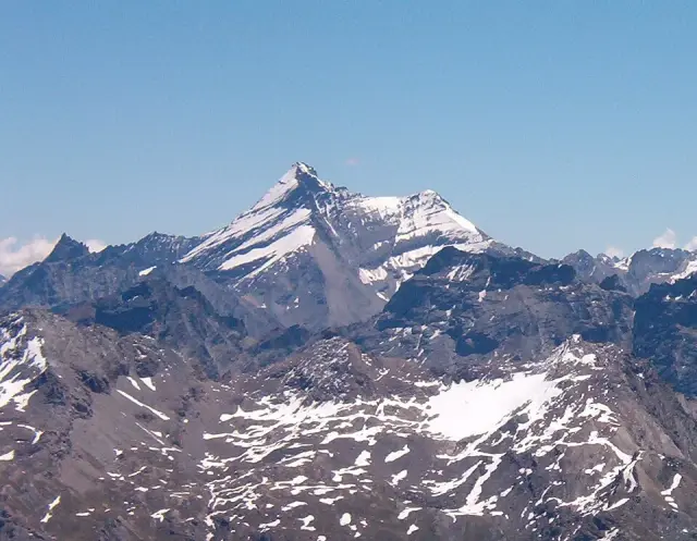
The Herbetet rises to 3,778 metres, on the long ridge that separates the Cogne valley from the Valsavarenche. It belongs to the Gran Paradiso massif and lies within the national park. It is best seen from the Valnontey, the valley that runs south from Cogne: it is a mountain of dark rock, cut by fine ridges and set above the glaciers.
A name taken from the pastures
Before it was the name of a summit, Herbetet was the name of a nearby col, glacier and pastures. The first mountaineers ended up applying it to the peak, which brought some order to names that had become muddled. The word brings to mind grass (herbe), but no reliable source explains it.
Climbed in 1873
The first ascent took place on 22 August 1873, by the north-north-east ridge. It was made by L. Barale with two guides, A. and G. Castagneri. The east ridge, today the most frequented route, was climbed in 1881 by the Englishmen George Yeld and G. P. Baker, with guides.
A pyramid seen from everywhere
From the north, for example from the Pointe Rousse above Cogne, the Herbetet takes the shape of an almost perfect pyramid. From the Valnontey, you see its ridges and the glaciers clinging to its flanks instead. These glaciers are retreating fast, as everywhere in the massif.
The casolari of the Herbetet
At its foot, on the Cogne side, the casolari of the Herbetet are a group of alpine pasture buildings at 2,435 metres. The park has a ranger post there. A balcony path links them to the Vittorio Sella hut, a former royal hunting lodge. Ibex and chamois are often seen there, and the view drops to the glaciers at the head of the Valnontey.
Getting there
Vittorio Sella hut (2,588 m)
Conca del Lauson
11012 Cogne (AO)
+39 0165 74310 · rifugiosella.com
The loop from Valnontey to the Sella hut and the casolari of the Herbetet is a walk of about five and a half hours, with no difficult sections and the mountain in view. The summit, on the other hand, is a real mountaineering route: the normal route by the east ridge starts from Valnontey, passes the Leonessa bivouac and requires a rope, crampons, an ice axe and a helmet. It is done with a mountain guide.
Main photo: Francofranco56, CC BY-SA 4.0, via Wikimedia Commons.
Maps: personal work by Marc Badjou.
Comments