Mont Avic Nature Park

Mont Avic Nature Park protects a stretch of mountain in the east of the Aosta Valley. It was created in 1989. People come mainly for its lakes, its pine forests and its paths.
Two municipalities, a summit at 3,006 metres
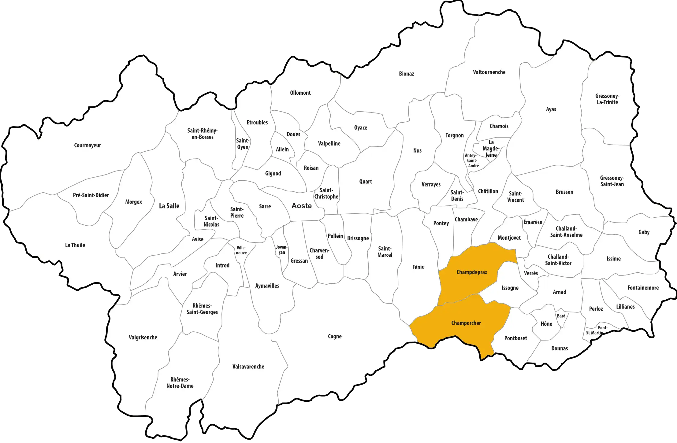
The park covers more than 5,747 hectares, in the municipalities of Champdepraz and Champorcher. Its highest point is Mont Avic, at 3,006 metres. Below it are forests, high-altitude lakes and meadows.
Trees and plants
The characteristic tree of the park is the mountain pine (Pinus uncinata), a species of pine that copes well with high-mountain conditions. Its forests here are the most extensive in the Italian Alps. There are also larches and spruces. The alpine flora includes several rare species, some of which grow only in a limited area.
Wildlife
Chamois and ibex live in the higher parts. In the sky you may see the golden eagle and the bearded vulture. This large bird of prey feeds mainly on bones: it drops them from a height onto rocks to break them and reach the marrow. The lakes are home to brown trout.
Walking, climbing, watching
A network of waymarked paths allows you to explore the park on foot. There are also mountaineering and climbing routes. The park rangers organise guided tours to observe the wildlife and plants.
A place for study
The park runs scientific research and habitat monitoring programmes. They help to improve knowledge of the species present and to protect them.
Ways in
The park is entered from Champdepraz or from Champorcher. In both valleys, visitor centres provide information on routes, animals, plants and the rules to be observed in the protected area.