Saint-Germain Castle
The fortress that locked the Montjovet pass, dismantled by order in 1661
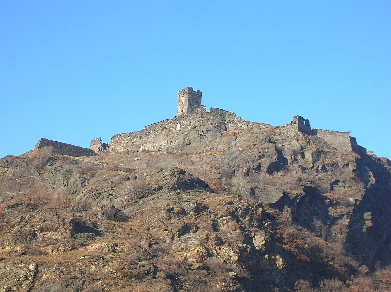
Between Saint-Vincent and Verrès, the valley narrows at the foot of the Montjovet promontory. At the very top, the ruins of Saint-Germain Castle overlook the road and the Dora. Whoever held this rock could block the way, and make those who wanted to pass pay for the privilege.
The toll castle
Traces of Neolithic settlement have been found on the promontory. The castle was built between the 11th and 12th centuries by the lords of Montjovet, who used it to control the road and collect tolls. Towards the end of the 13th century, the House of Savoy seized it, accusing the lords of crushing travellers with taxes. In 1295, they entrusted it to Ebal I of Challant. In 1377, Iblet de Challant held the Bishop of Vercelli prisoner there for a year. In 1438, François de Challant handed it back to the Savoys.
A fortress adapted to cannon
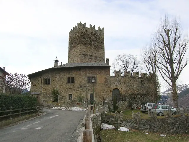
The layout follows the Aosta Valley model: a tall square tower, about 19 metres high and 6 metres a side, surrounded by walls nearly 200 metres long. From the 15th century onwards, the Savoys modernised the castle, adding bastions and platforms for cannon. Gothic arches, large windows and 16th-century stone mouldings can still be seen.
Dismantled by order
In 1661, Duke Charles Emmanuel II had the castle abandoned and deliberately made unusable. Its garrison left for Fort Bard. The walls finished collapsing in the early 18th century. Today the site belongs to the Region. The municipality would like to open the courtyard to visitors, but in 2024 the funding had not yet been found.
Seeing it
Saint-Germain Castle
Hameau Saint-Germain
11020 Montjovet (AO)
A road climbs to the hamlet of Saint-Germain, on the north side of the promontory, where there is a large car park. From there, it is a five-minute walk to the area around the castle. The enclosure is closed off by a gate because of the risk of falling stones: you see the ruins from outside. You can also come on foot from Saint-Vincent along a stretch of the Via Francigena.
Main photo: Patafisik, CC BY-SA 3.0, via Wikimedia Commons.
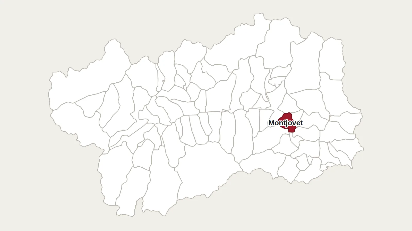
Maps: personal work by Marc Badjou.
Comments