The Buthier
From the Tsa de Tsan glacier to the streets of Aosta

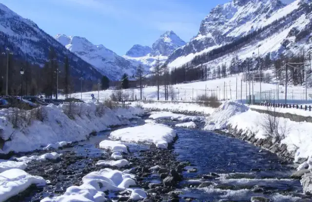
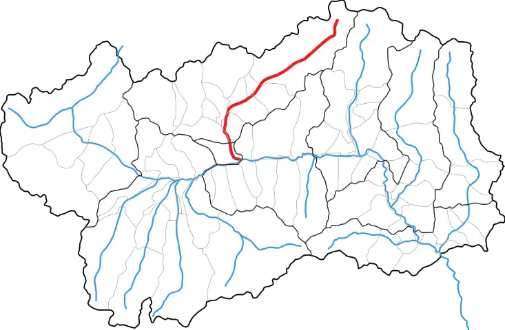
The Buthier is the stream of the Valpelline. It rises at the Tsa de Tsan glacier, at over 2,700 metres, at the head of the valley. It ends its course in Aosta, where it flows into the Dora Baltea.
A glacial stream
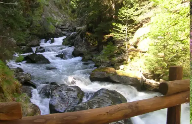
In its upper reaches the Buthier is a true mountain torrent. Its water is grey, laden with sediment scoured by the glacier. It passes through narrow gorges and larch forests, and forms several waterfalls.
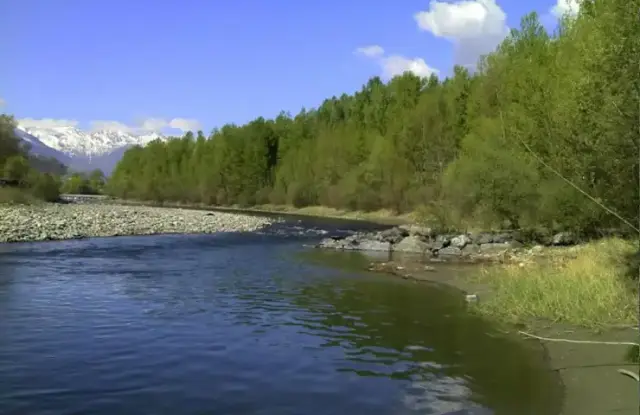
Further down, it is held back by the Place-Moulin dam. Downstream, its flow is more even. It waters the meadows and crops of the Valpelline and runs below the villages, whose inhabitants have always used its water.
A very old name
The name “Buthier” is sometimes traced to a Celtic root meaning simply “watercourse”. This origin has not been proved. It is, however, a reminder that the region was inhabited by the Salassi, a Celto-Ligurian people, before the Romans arrived.
The Buthier in Aosta
In Aosta, the Buthier crosses the town before joining the Dora. It has changed its bed over the course of history: the Roman bridge that once spanned it now stands on dry ground. On Piazza Émile Chanoux, two fountains in front of the town hall bear statues representing the Dora and the Buthier.
Along its banks
Several paths follow the stream and offer views of the mountains of the Valpelline. Experienced walkers can climb up to the Tsa de Tsan glacier, where the Buthier begins.
A fragile environment
The retreat of the glacier, pollution and the spread of building all put pressure on the Buthier. Several initiatives aim to make the river better known and to protect it.